SIGNING AND PAVEMENT MARKING
Signing and Pavement Marking
The AMD Engineering team will use Geographic Information Systems (GIS) layers or detailed survey (where available) to create existing conditions base plans for the project limits. The base plans will be populated utilizing Google Earth prior to conducting a field review to verify that existing surface features and geometric features are accurate as shown on the drawings. Each field review will include a photographic and tape-and wheel inventory of all features relevant to the design including existing lane widths and pavement markings, signing, crosswalks, parking, bus stops, location and condition of curb ramps, driveway entrances, divider islands, and medians.
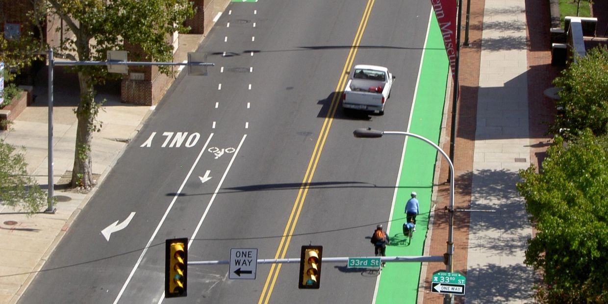
AMD Engineering will prepare detailed signing and marking plans per the Manual on Uniform Traffic Control Devices (MUTCD), local Supplement to the MUTCD, and appropriate memoranda/project requirements and include sign location, panel type and fabrication details, support type, pavement marking location, width, material, pattern, and limits.
Project History
- Virginia Mega Projects GEC*
- Fairfax County On-Call Design Services*
- DDOT New Jersey Avenue Two-Way Conversion*
- DDOT I-395 Capital Crossing*
- City of Alexandria On-Call Design Services*
- DDOT Bicycle Design On-Call*
* PROJECTS MANAGED AND/OR DESIGNED BY PRINCIPLES WHILE AT PREVIOUS FIRMS
AMD Engineering LLC
Engineering Design Services | Lighting | Stormwater Management | Transportation Engineering | Traffic Signal Design | Traffic Control Design
Copyright © 2020 AMD Engineering LLC - All Rights Reserved.
Powered by GoDaddy Website Builder